
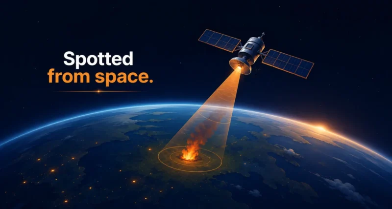
Every massive wildfire begins as something tiny: a single spark, a smoldering patch of grass, a flame no bigger than a picnic blanket. Catch it in those first minutes, and you can stop it. Miss it, and it can grow into a wall of fire that swallows entire towns. That race against the clock just gained a powerful new ally. On July 7, 2026, three new FireSat satellites blasted into orbit. They now expand a bold plan to spot wildfires from space while they are still small enough to fight. Here is the story behind the mission, and why it could change how the world battles fire.
| The Short Version Three new FireSat satellites launched on July 7, 2026 from Vandenberg Space Force Base in California, riding a SpaceX rocket into orbit. They join a growing network built by the nonprofit Earth Fire Alliance, Google Research, and satellite maker Muon Space. The goal is simple but ambitious: use satellites and Google AI to detect wildfires as small as 5 by 5 meters, long before they explode into disasters. Google.org has chipped in more than $15 million to get these early satellites off the ground. |
A Fire Starts Small
Here is the hard truth about wildfires. By the time most of us see the smoke on the news, it is often already too late. A fire that a single crew could have stopped in the first hour can, within a day, become an unstoppable inferno. Speed is everything.
The trouble is that spotting a brand-new fire in a vast, remote wilderness is incredibly hard. Lookout towers cannot see everywhere. Existing weather satellites can catch large, raging fires. But the small early flames, the ones we most want to find, often slip right past them. That blind spot is exactly what FireSat was built to close.
Enter FireSat: Eyes in the Sky
Picture a fleet of satellites circling the planet, scanning the ground for the faint heat of a fire just as it begins. That is the idea behind FireSat. It is a global effort led by the nonprofit Earth Fire Alliance, working alongside Google Research and satellite manufacturer Muon Space. Together they are building a purpose-made constellation designed to give fire agencies something they have never had: near-constant coverage of fire-prone regions. The sensors are tuned to catch early-stage wildfires as small as 5 by 5 meters, roughly the footprint of a small classroom. You can learn more about the program from the Earth Fire Alliance.
From One Satellite to a Growing Fleet of FireSat Satellites
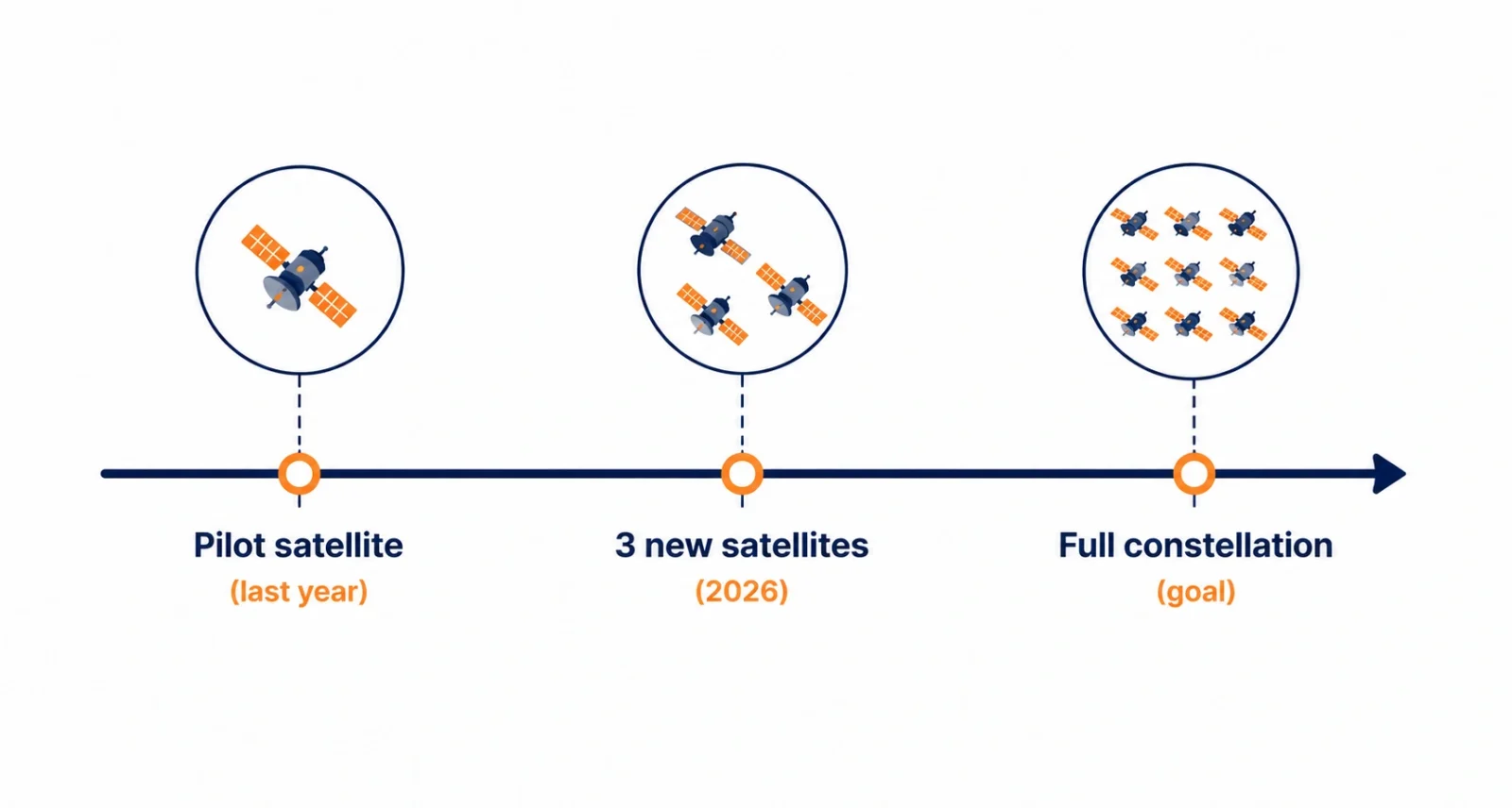
Big ideas need proof, and FireSat got it. Last year, the program’s very first satellite reached orbit and quietly went to work. It did more than pass the test. It spotted small, low-intensity blazes that were completely invisible to existing satellites, showing the technology truly works.
Now comes the next chapter. These three new FireSat satellites launched from Vandenberg Space Force Base, aboard a SpaceX Transporter mission. They carry that same proven design into space and grow the network. To help kickstart the rollout, Google.org has provided more than $15 million. Google Research shared the news on its blog, framing it as a step forward for practical AI and climate resilience. It also builds on the pilot satellite that reached orbit last year.
How FireSat Actually Spots a Fire
So how do you find a campfire-sized flame from hundreds of miles up? The clever part is the AI. As each satellite passes over the land, it captures detailed infrared images. Google’s AI then compares each tiny patch of ground to earlier images of that exact spot. If a small area suddenly shows the telltale heat of fire where there was none before, the system flags it. That comparison is what separates a real new fire from, say, a hot rooftop or sun-baked rock. The result is an early alert that can reach fire agencies while the flames are still small and containable.
Why This Matters
This is not just cool space technology. It is about time, and time saves lives. When firefighters get an alert in the first minutes instead of the first hours, everything changes. Crews can reach a fire while it is small, before it threatens homes, wildlife, and entire communities. Fewer megafires also means less smoke choking the air and less carbon pumped into the atmosphere. FireSat is a reminder that the same kind of technology behind everyday apps can be aimed at some of the planet’s biggest problems. It is climate resilience in action, much like the clever ideas we explored in our look at floating solar panels.
| FireSat at a Glance | The Details |
| What it is | A wildfire-detection satellite network |
| Latest launch | 3 new satellites on July 7, 2026, from California |
| Led by | The nonprofit Earth Fire Alliance, with Google Research |
| Built by | Satellite maker Muon Space |
| Detects fires as small as | 5 by 5 meters |
| Google.org funding | More than $15 million for early satellites |
| The mission | Spot wildfires early, before they spread |
What’s Next for FireSat
Three satellites are a milestone, not the finish line. The long-term vision is a much larger constellation, enough orbiters to watch fire-prone areas around the globe and revisit them every few minutes. The more satellites in the sky, the faster and more complete the coverage becomes, and each launch brings that goal closer. It is a striking example of what happens when tech companies, nonprofits, and philanthropy pull in the same direction. For more on how satellites are quietly reshaping what we can see, read our piece on the James Webb Space Telescope’s discoveries.
The story of FireSat is really a story about catching problems early, while they are still small enough to solve. Three new satellites are now circling the Earth. They watch for the first flicker of the next wildfire, so help can arrive in time.
It is a bold mix of space, AI, and teamwork aimed squarely at protecting people and the planet. And with more satellites on the way, the view is only getting sharper.
Frequently Asked Questions
What is FireSat?
FireSat is a network of satellites designed to detect wildfires from space while they are still small. It is led by the nonprofit Earth Fire Alliance, with Google Research and satellite maker Muon Space. The network uses Google AI to spot early-stage fires.
How many FireSat satellites are there now?
With the July 2026 launch, four FireSat satellites are in orbit. That is the original pilot from last year, plus the three new ones. The plan is to keep expanding into a much larger constellation over time.
How small a fire can FireSat detect?
FireSat’s sensors are built to catch early-stage wildfires as small as 5 by 5 meters, about the size of a small classroom. That is far smaller than what most existing weather satellites can reliably see.
Who is behind FireSat?
FireSat is a partnership. The nonprofit Earth Fire Alliance leads the program, Google Research provides the AI and technical support, and Muon Space builds the satellites. Google.org has funded more than $15 million toward the early satellites.
When did the new FireSat satellites launch?
The three new satellites launched on July 7, 2026 from Vandenberg Space Force Base in California. A SpaceX Transporter mission carried them into orbit.
Does FireSat use AI?
Yes. Google’s AI compares fresh satellite images to earlier ones of the same location to spot the heat of a new fire. That comparison helps confirm a real wildfire and sends an early alert to fire agencies.

